Day 3 - Thursday 7/11/2019 - Drive to Vik; Waterfalls, Black Sand Beaches and Glaciers
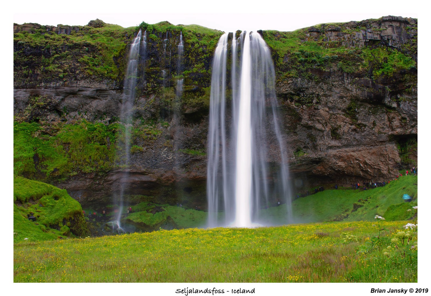
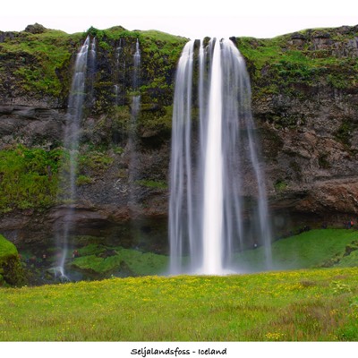
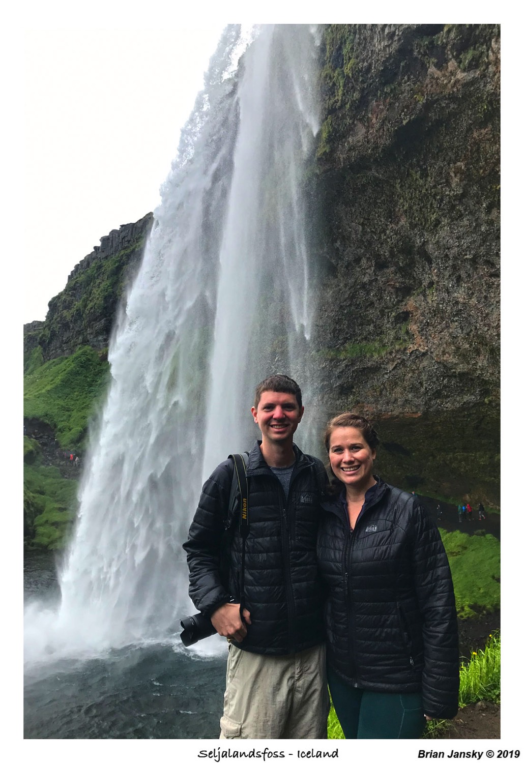
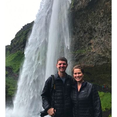
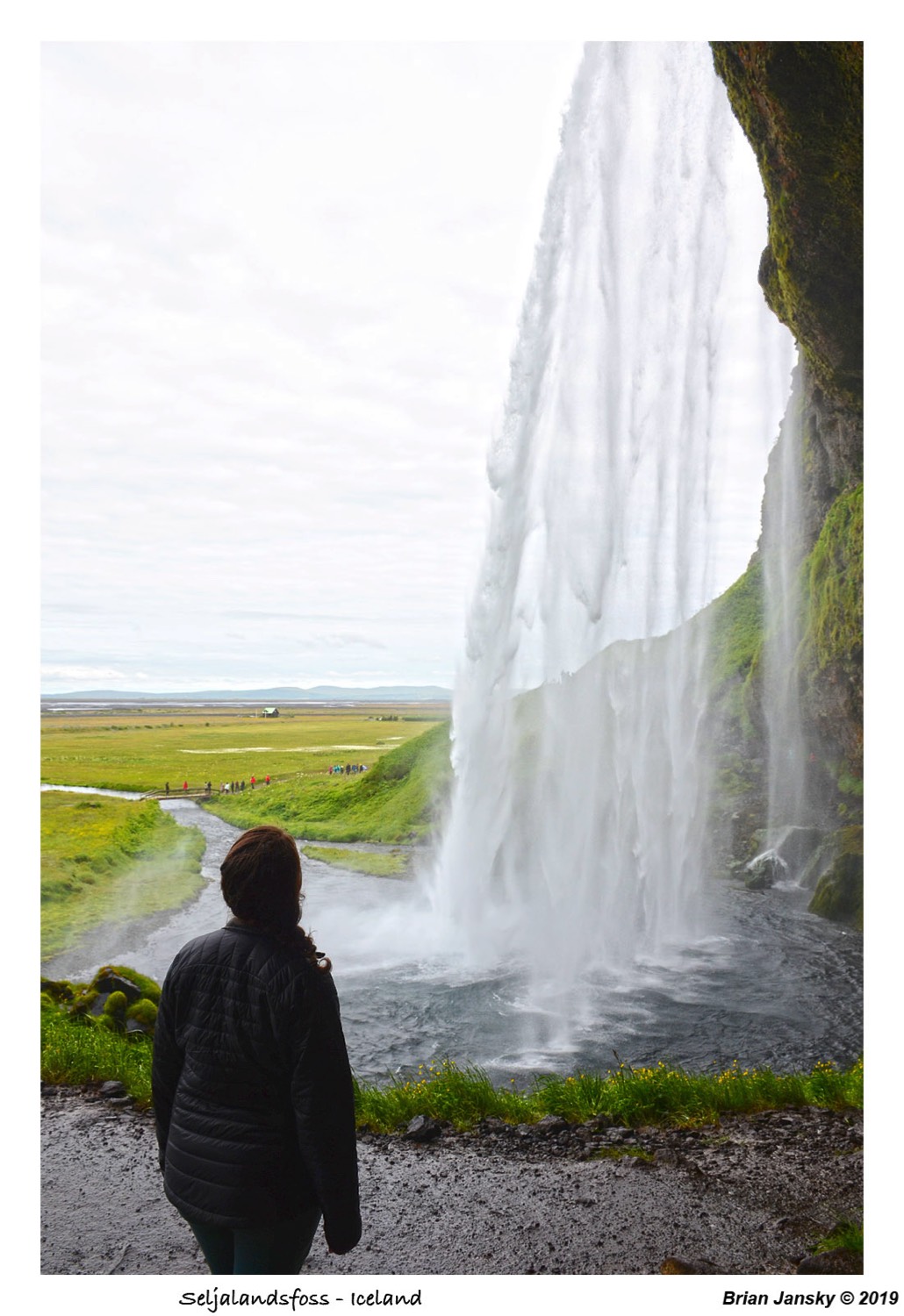
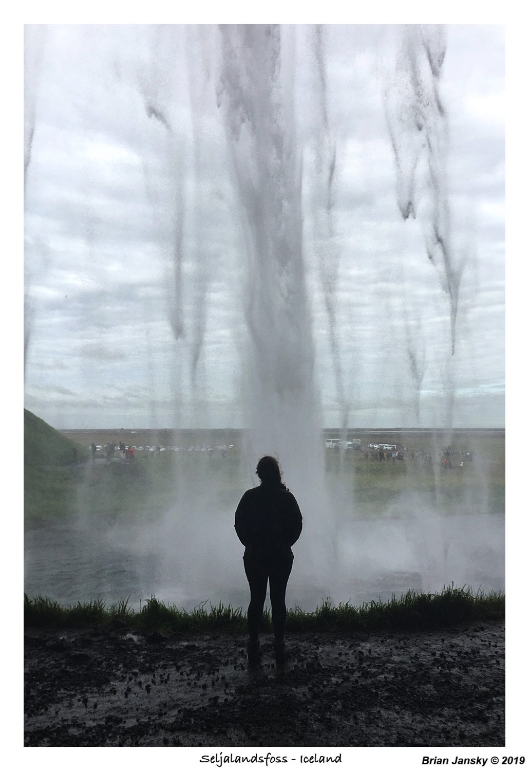
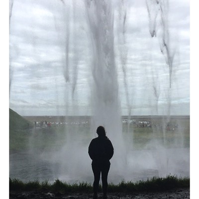
We woke up just before the 8AM alarm. Brian was groggy, but I was excited to explore. We packed up and was out the door a little before 9:00am. We headed east out of Reykjavík on the Ring Road and over a pass with many steam vents. Such an interesting sight for us! The land kept getting more and more beautiful with each turn and we were just barely out of the city. Our first stop was the famous Seljalandsfoss which you could see right off of the road. It is known for being the waterfall you can walk behind, which was really neat! And the mist coming off of it was spectacular. If you don't want to get wet be sure to bring your rain jacket!
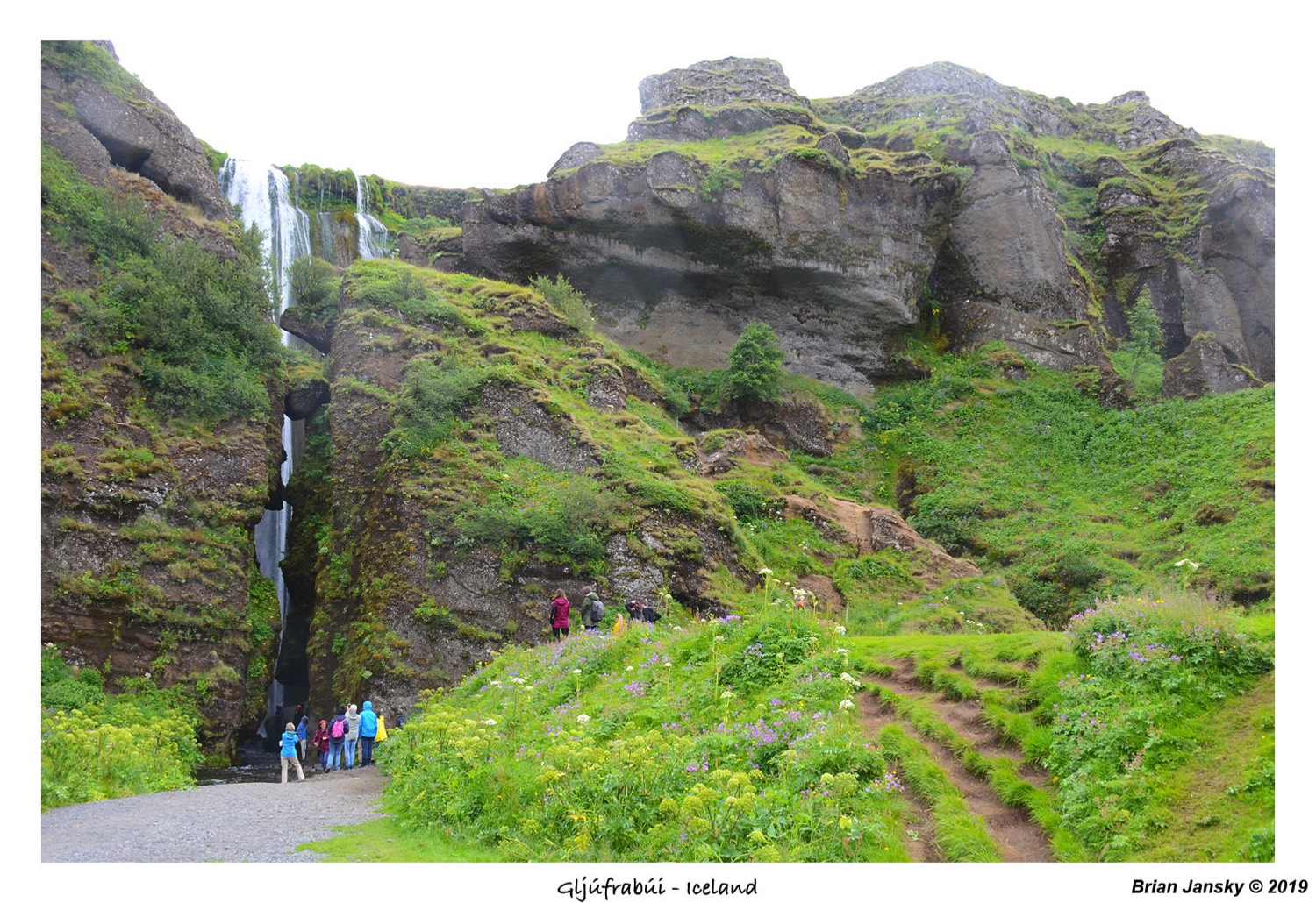
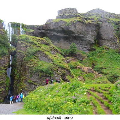
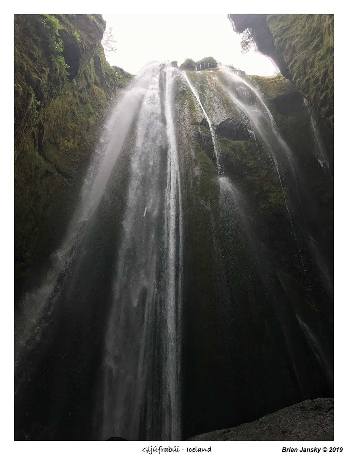
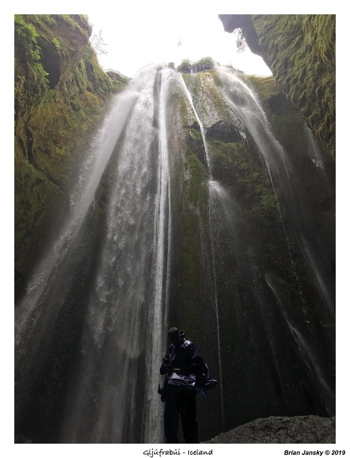
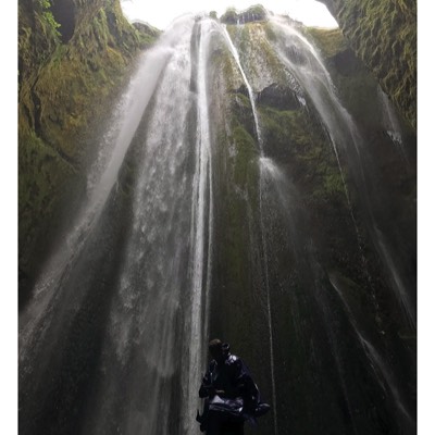
After getting many photos of Seljalandsfoss and taking our walk behind it, we when did the short walk up to another waterfall that was in a very tall narrow canyon called Gljúfrabúi. There was a little trail that relied on a few rocks sticking out of the water. I kicked off my shoes and ventured in. Brian wanted to shoot into the canyon to get a shot of me, but I never looked out so he persuaded me to walk in a second time. The first time the water wasn't too bad, but the second time my feet were FREEZING!! Brian decided to go in while wearing shoes and luckily he didn't get wet socks! I struck up a conversation with a family from Portland, Oregon while I waited and my feet were drying off.
After getting many photos of Seljalandsfoss and taking our walk behind it, we when did the short walk up to another waterfall that was in a very tall narrow canyon called Gljúfrabúi. There was a little trail that relied on a few rocks sticking out of the water. I kicked off my shoes and ventured in. Brian wanted to shoot into the canyon to get a shot of me, but I never looked out so he persuaded me to walk in a second time. The first time the water wasn't too bad, but the second time my feet were FREEZING!! Brian decided to go in while wearing shoes and luckily he didn't get wet socks! I struck up a conversation with a family from Portland, Oregon while I waited and my feet were drying off.


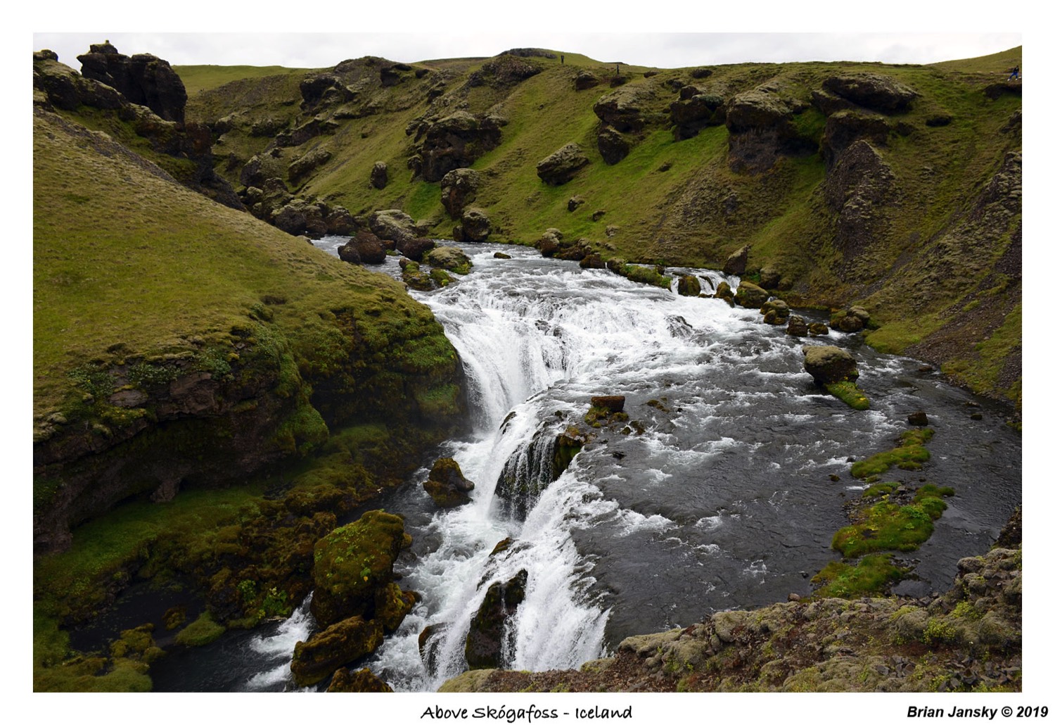
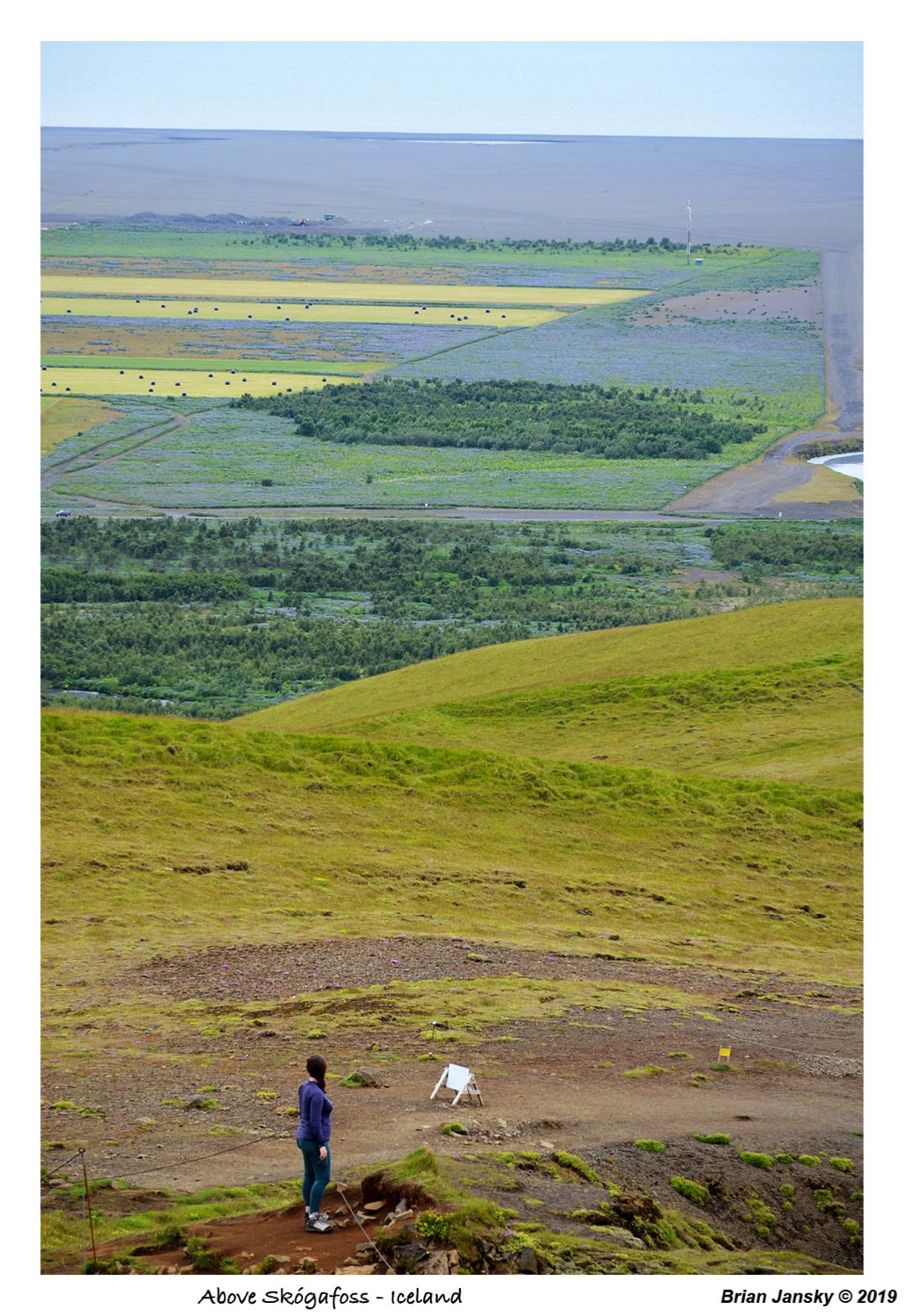
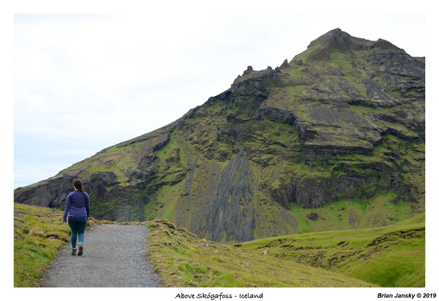
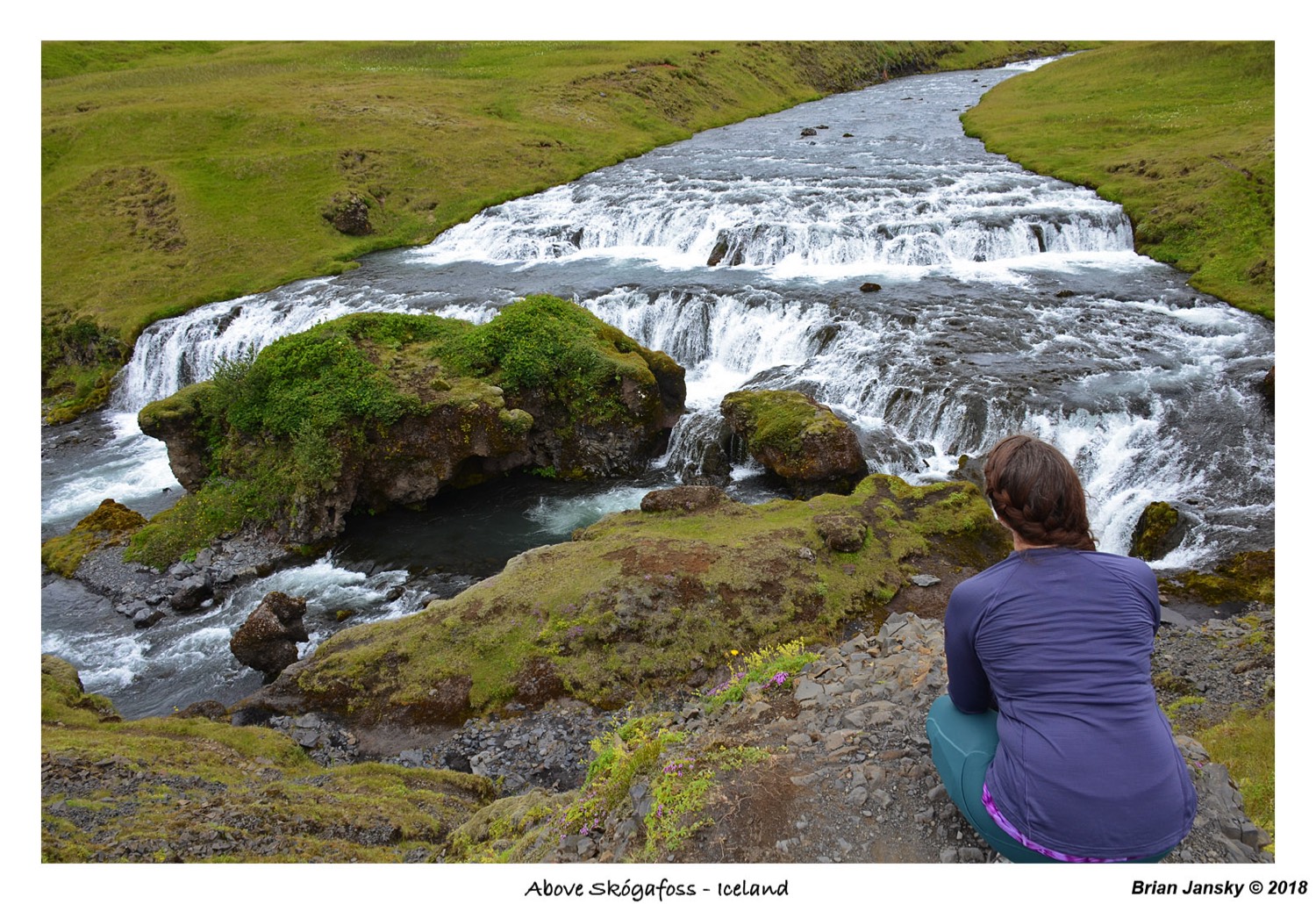
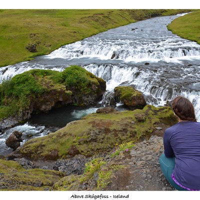
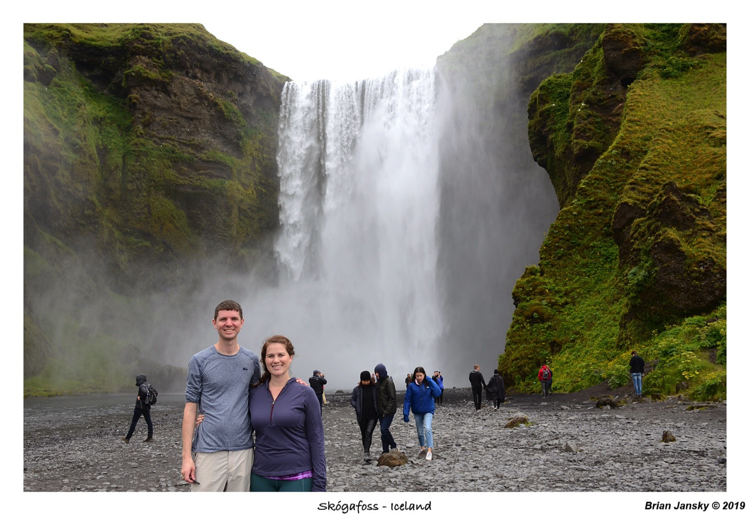
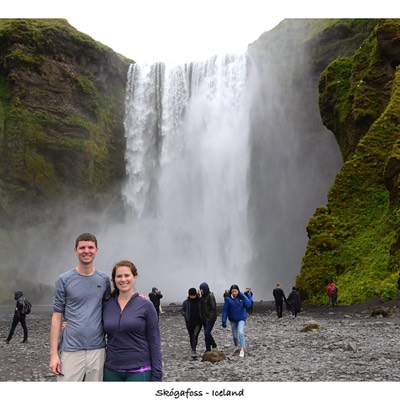
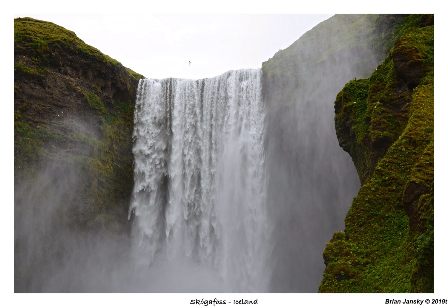
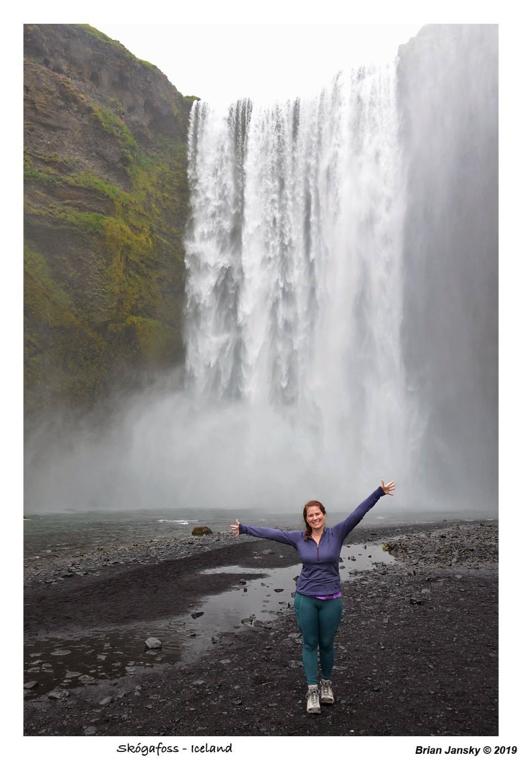
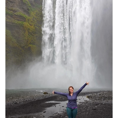
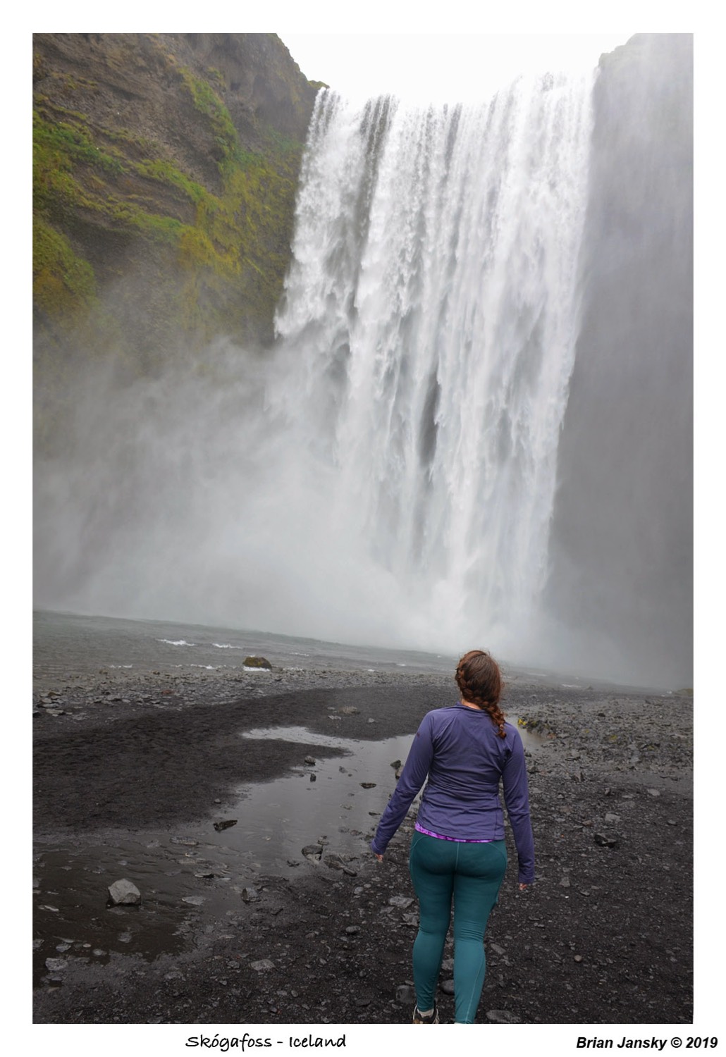
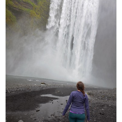
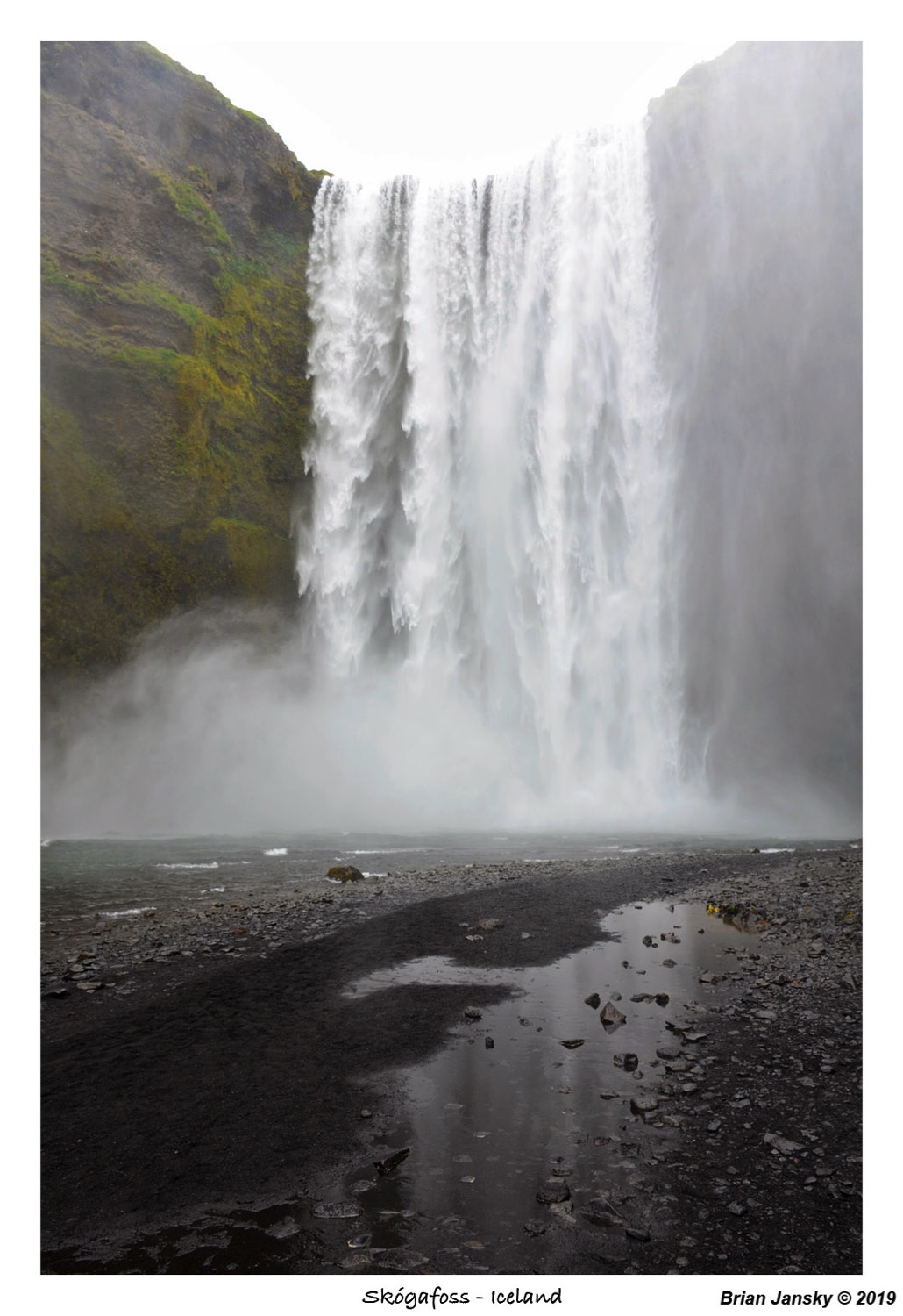
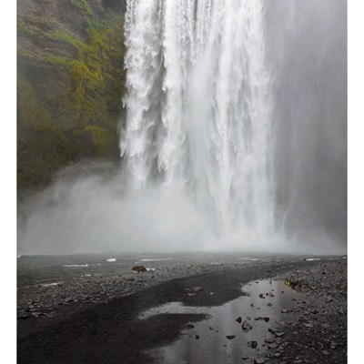
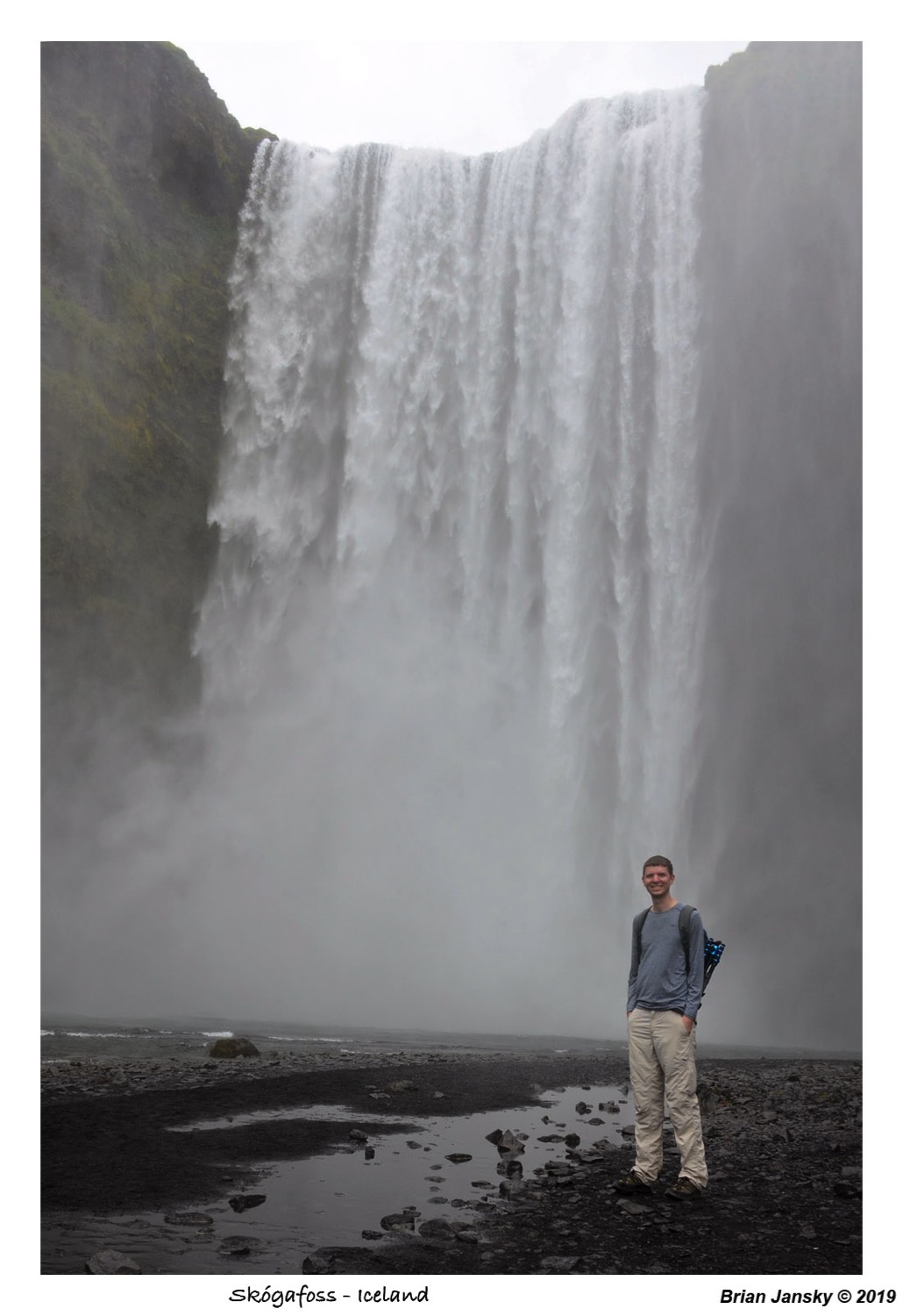
On our way back to the car, we grabbed a panini from a food trailer in the parking area to supplement our snacks for lunch. We then continued east to the next big water fall, Skógafoss. This one had a long iron staircase, allowing you to hike up to the top of and had a trail that following the Skóga River up into the highlands called Fimmvorduhals. We naturally took the stairs first, lots and lots of steps and the waterfall was 197 feet tall! We hit up the viewing platform at the top, then continued on the Fimmvorduhals trial up the Skóga River to keep finding more and more waterfalls on the river. These were not as big as the main one, but no less beautiful! We finally turned back after hiking a little under a half a mile up the trail. We would have loved to keep hiking, but we still had more to do today! Once back down, we grabbed some shots from the base of the beautiful waterfall and then it was back to the car to head east again.


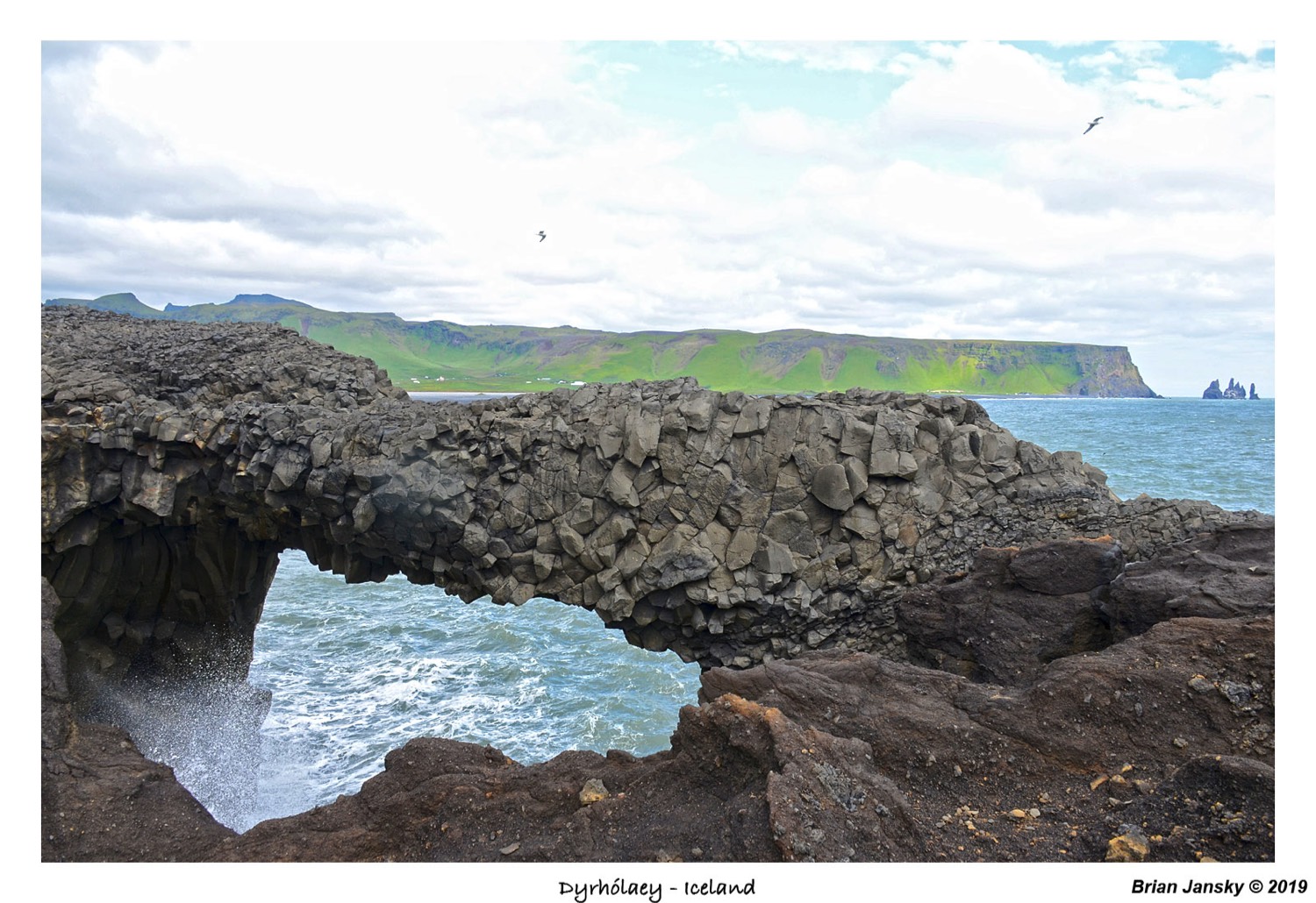
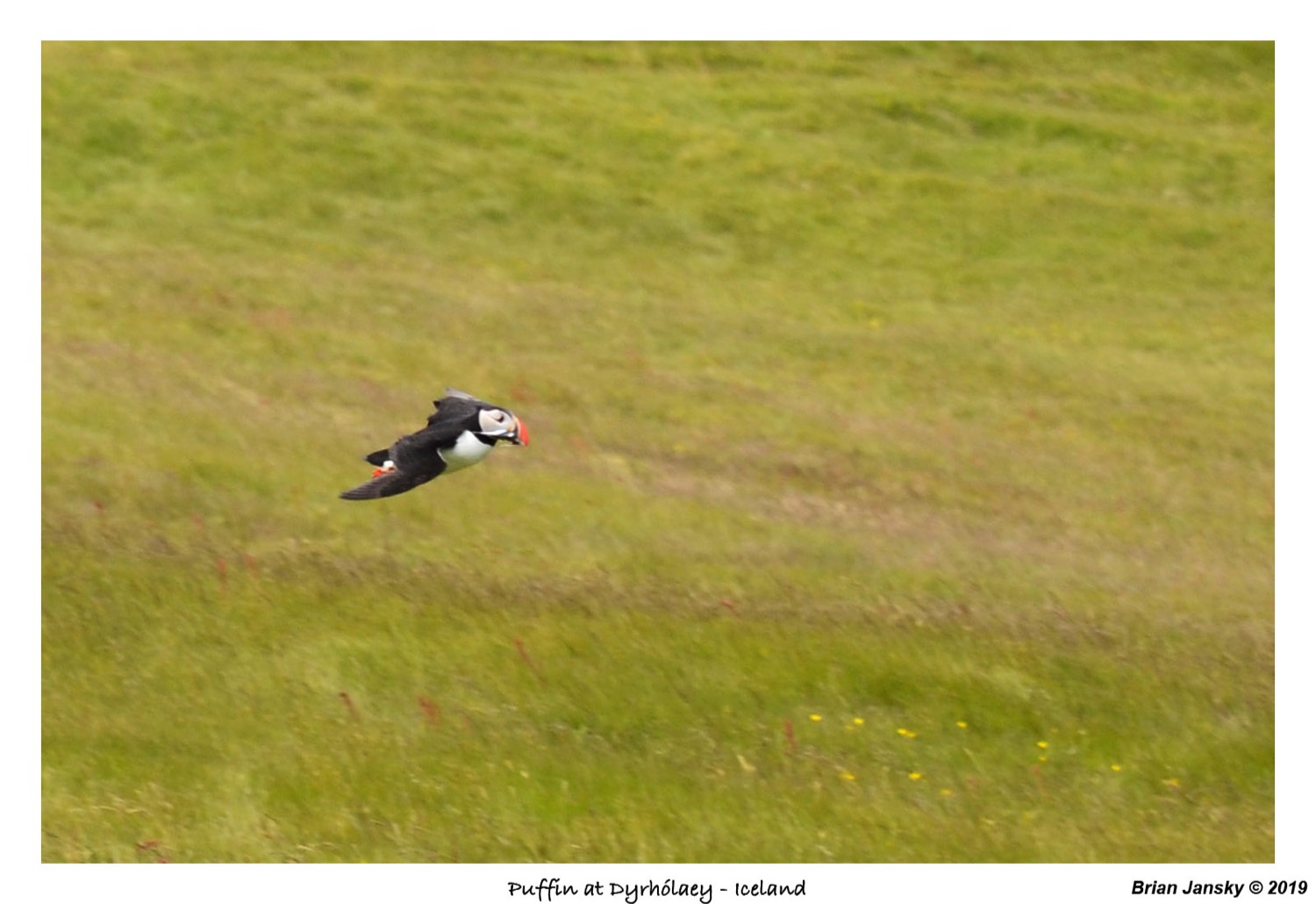
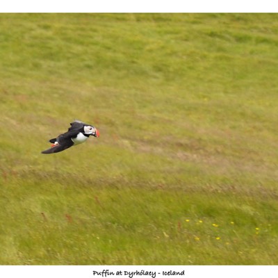
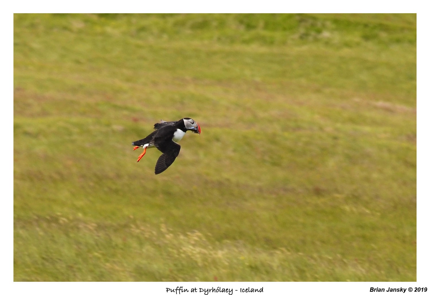
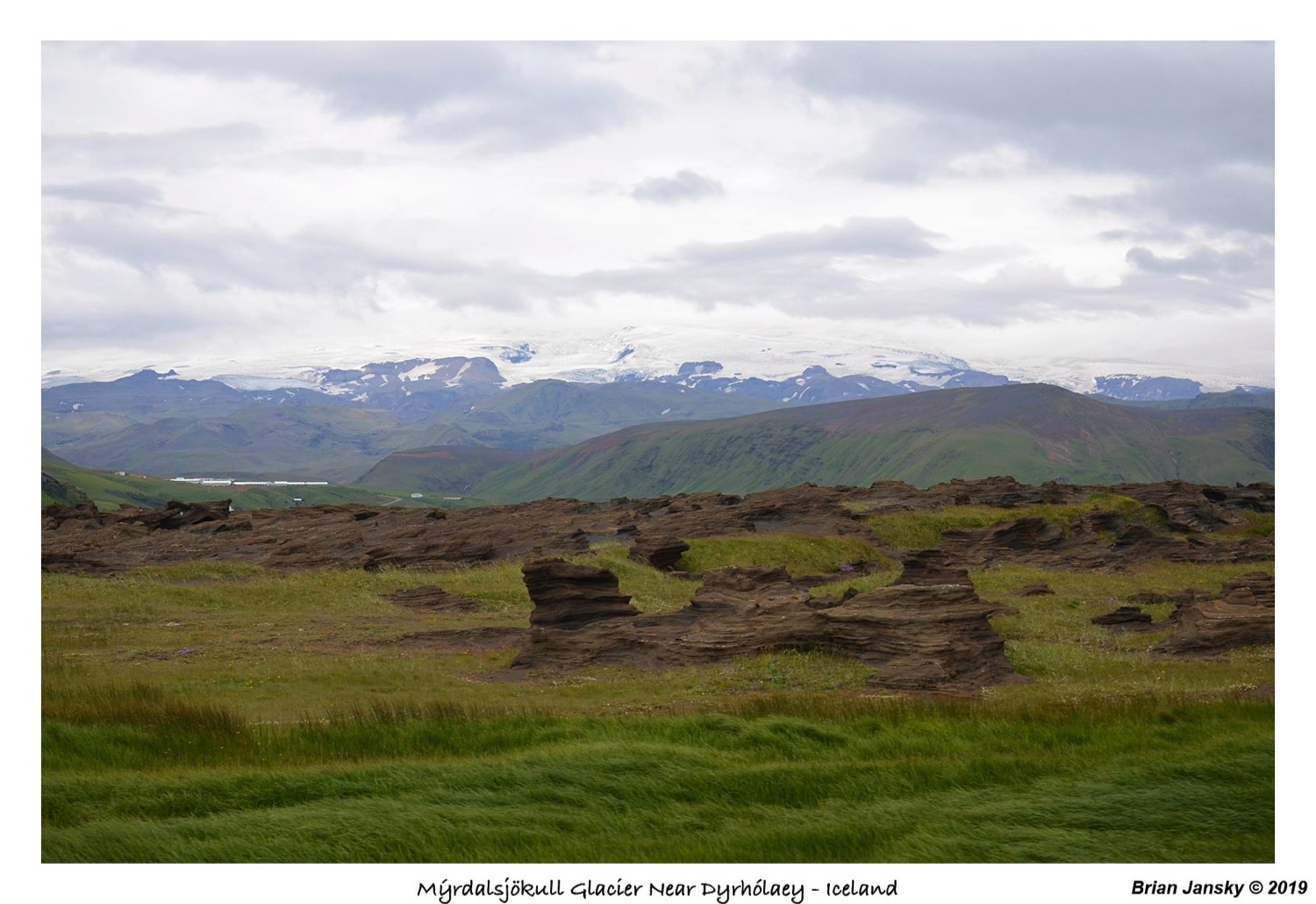
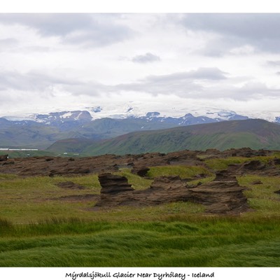
Now we are headed to Dyrhólaey. Here was saw a few natural arches and our first look at the coastline! We also got to see Puffins which was a highlight for me! We an hour while watching the Puffins fly into their nests and trying to get a good picture of them. On the drive back to the Ring Road, Brian was able to get a good view of the Mýrdalsjökull Glacier!

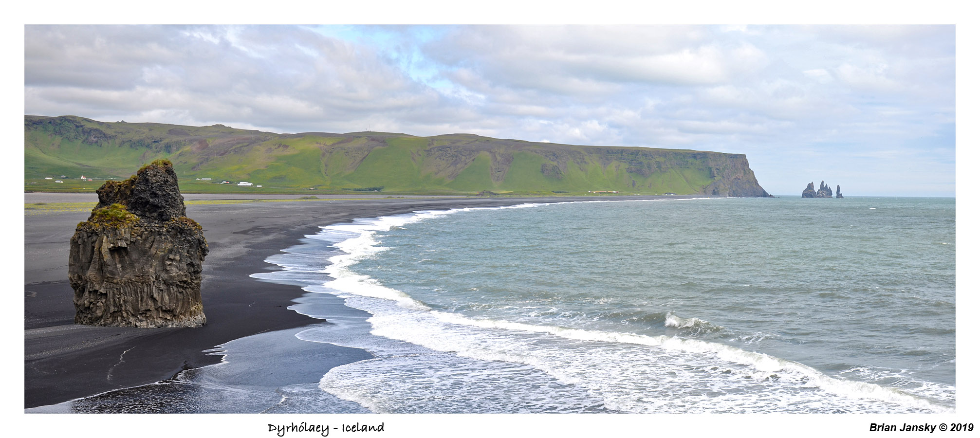
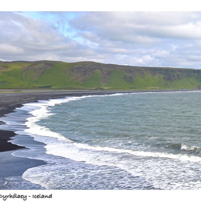
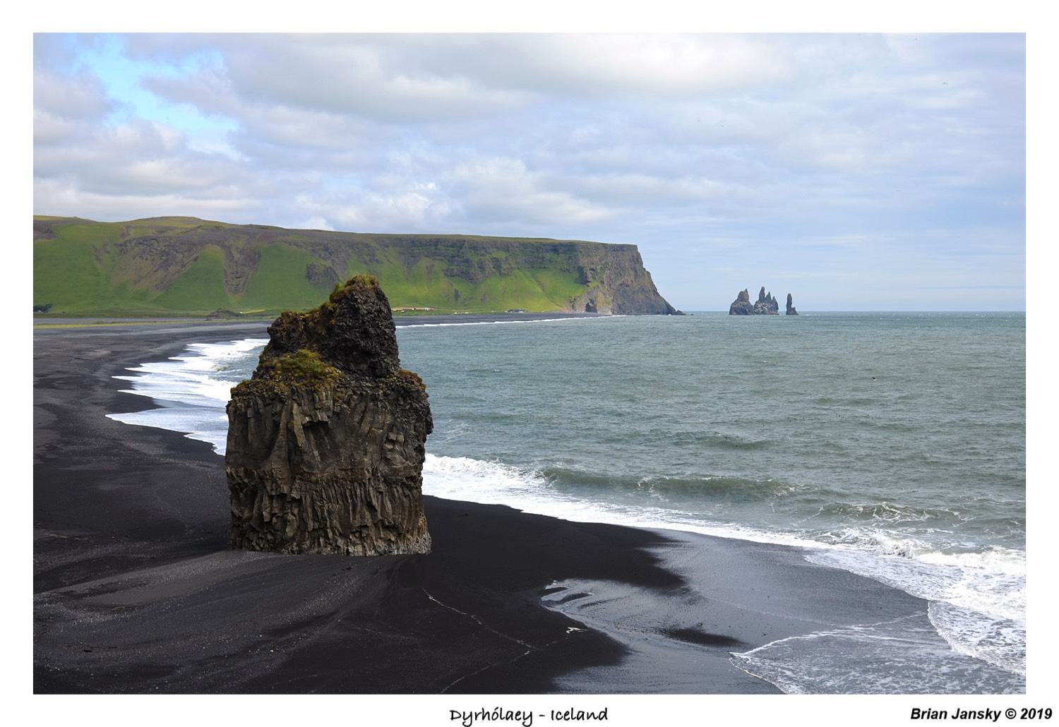


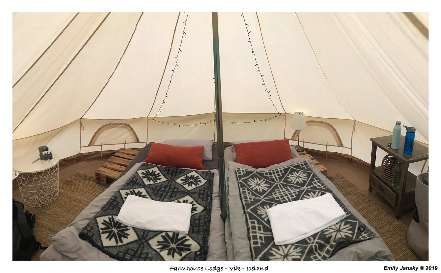
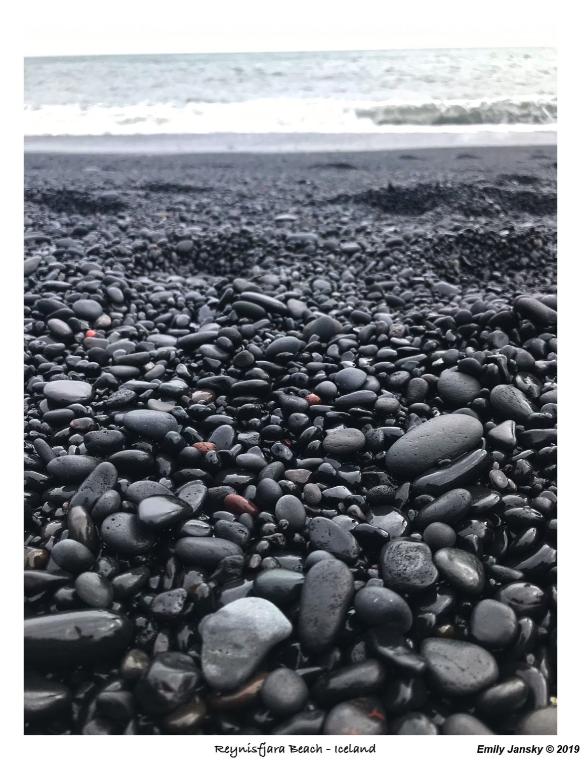
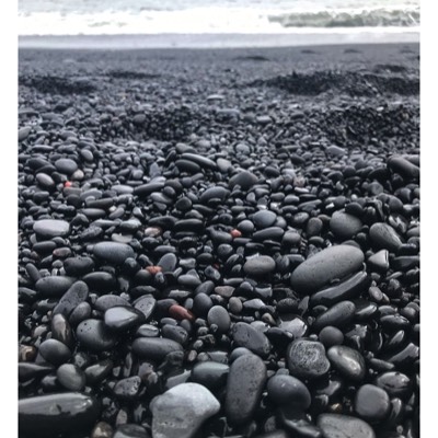
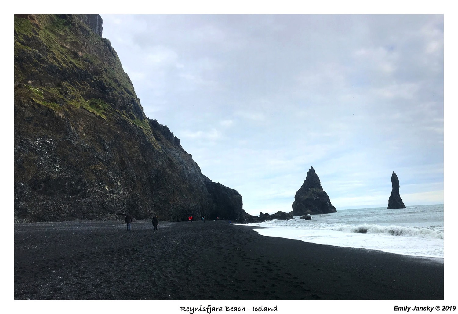
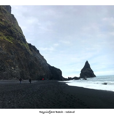
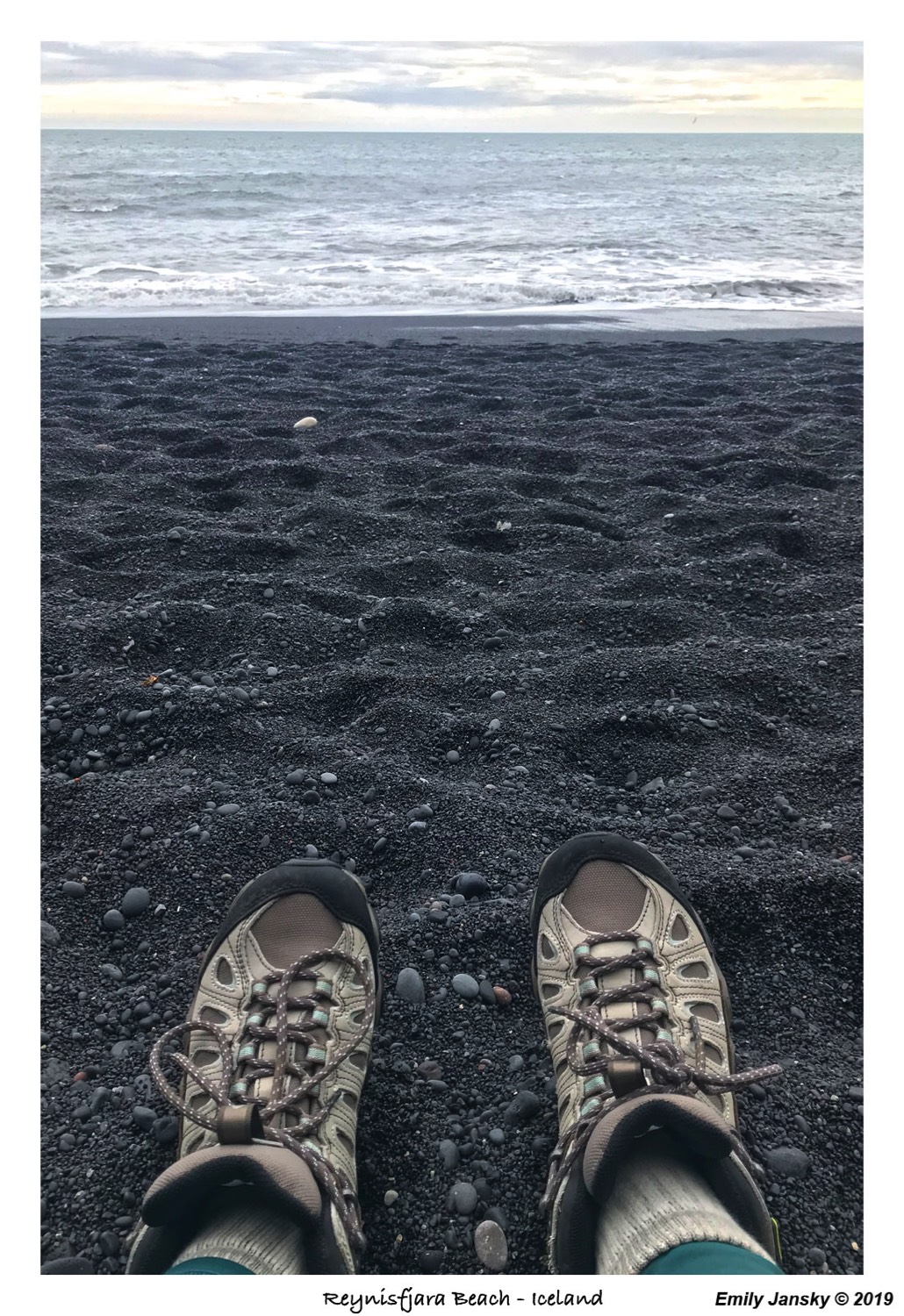
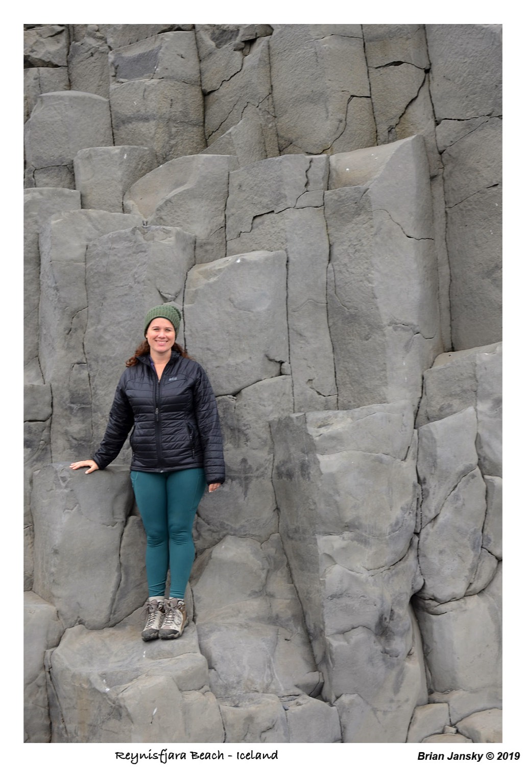
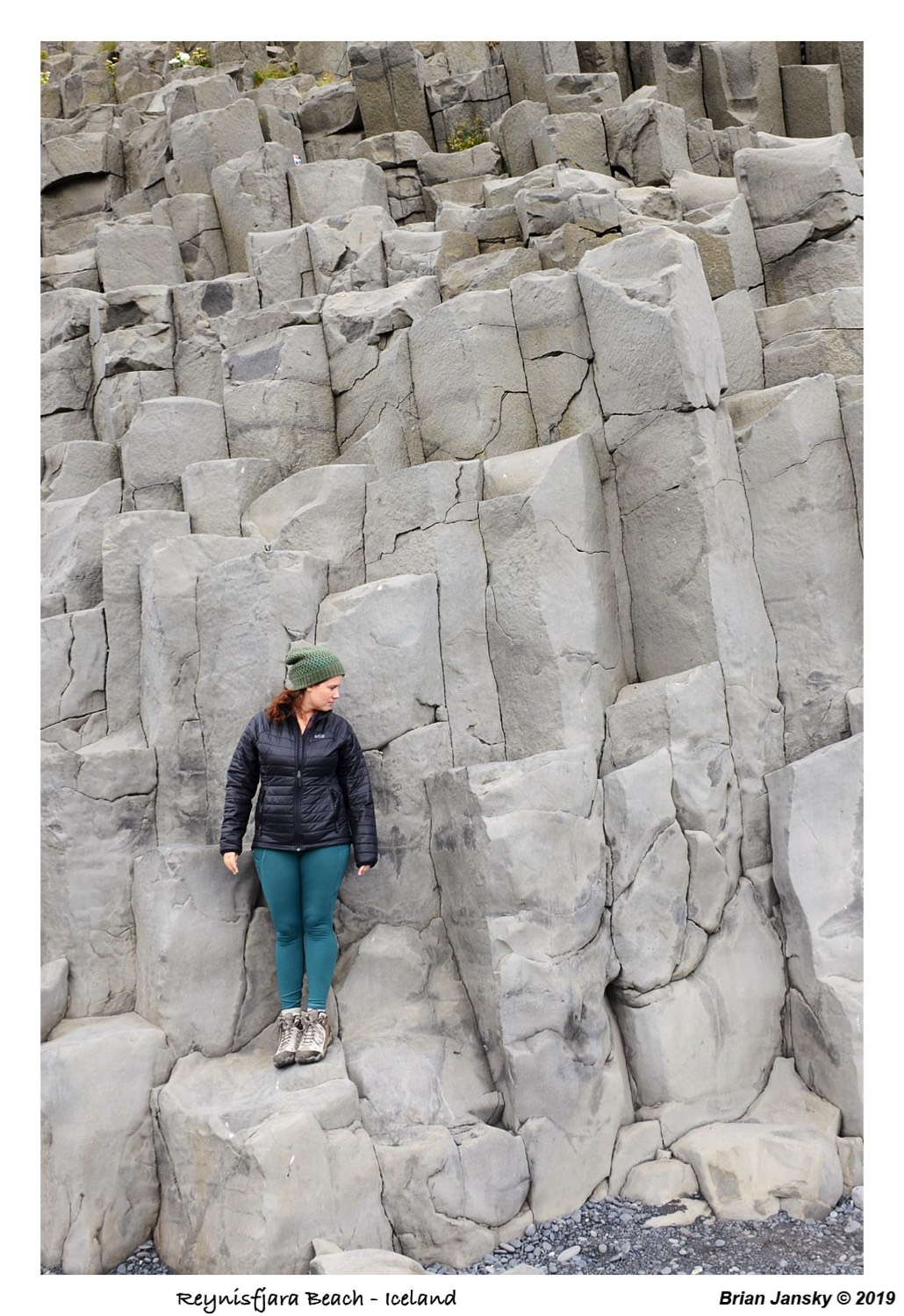
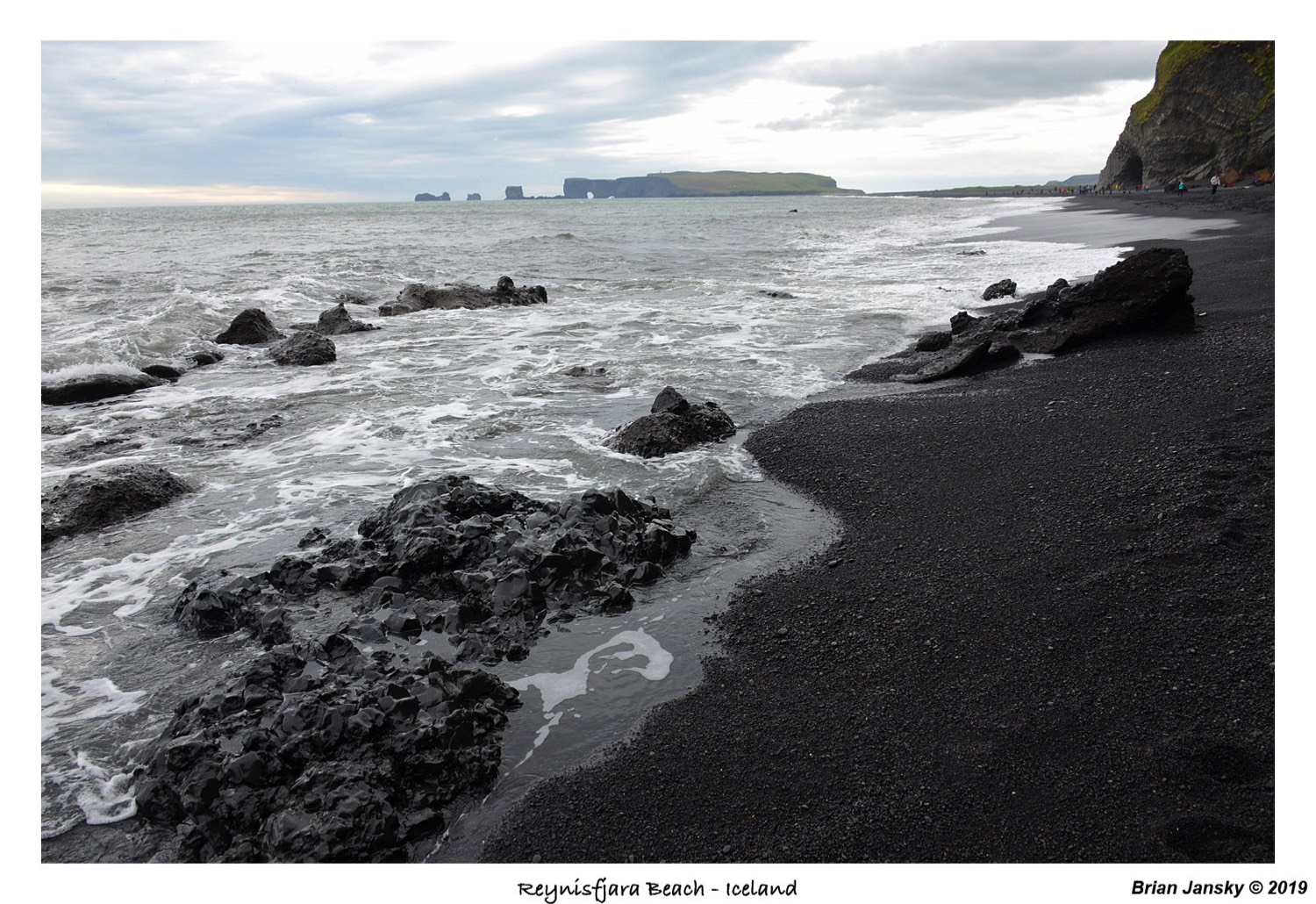
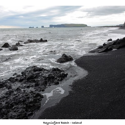
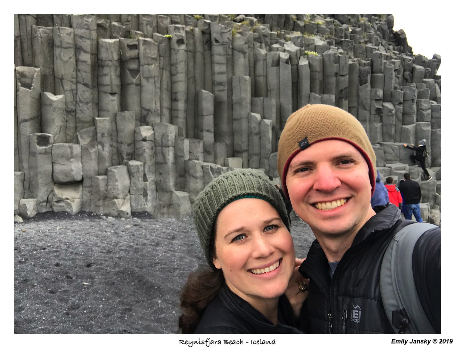
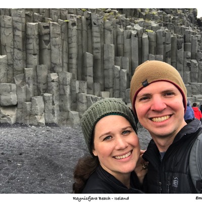
Now being about 3:30pm, we then went to check into our AirBnB which was Farmhouse Lodge. Our accommodations was actually a tent at the farmhouse. Well, it was a nice canvas tent so glamping at its finest. Next we headed to another beach which was close by. Reynisfjara Beach is famous for their basalt rock, black sand and sea pillars. Again, it didn’t disappoint. The view of the black sand was so different from all of the other beaches we've seen. On the walk back, a group of older Greek women asked if I would take their picture. The 4 of them were sitting on the beach and drinking homemade liquor cut with water. Brian didn't partake, but I sure did! It tasted like vodka to me. The ladies were so sweet I could have been drinking anything and enjoyed their company.


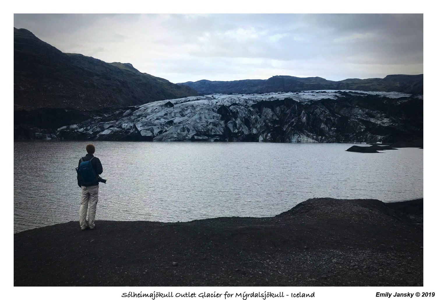
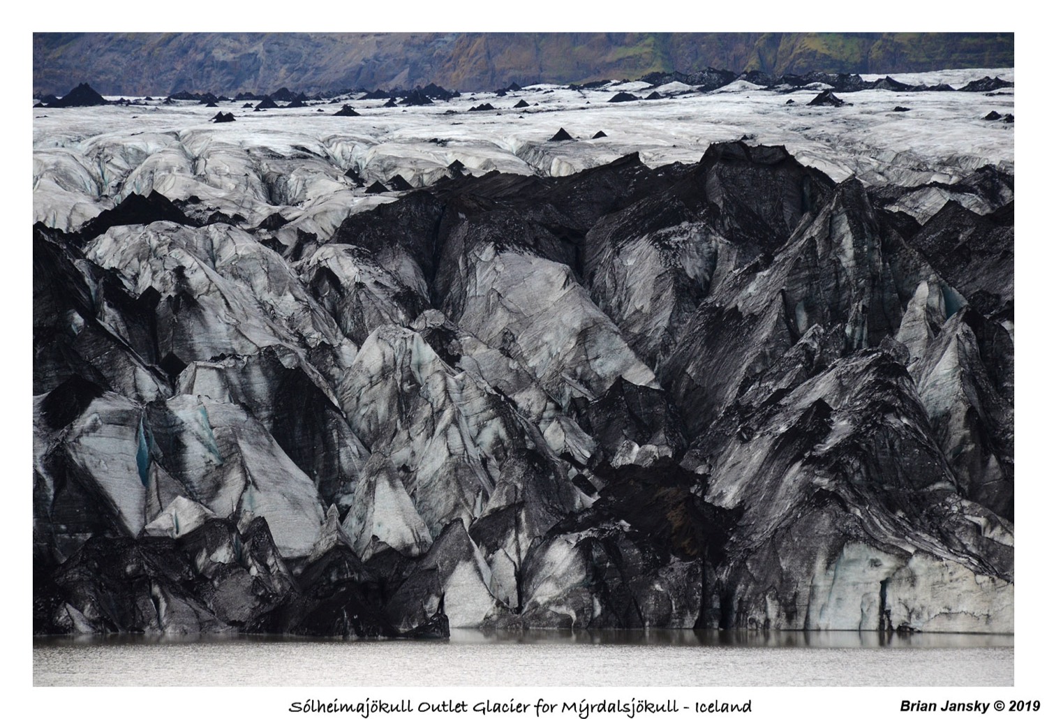
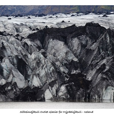
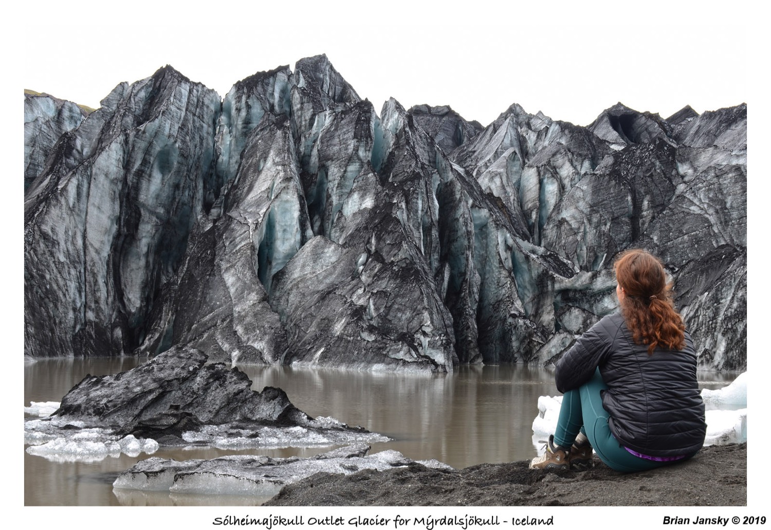
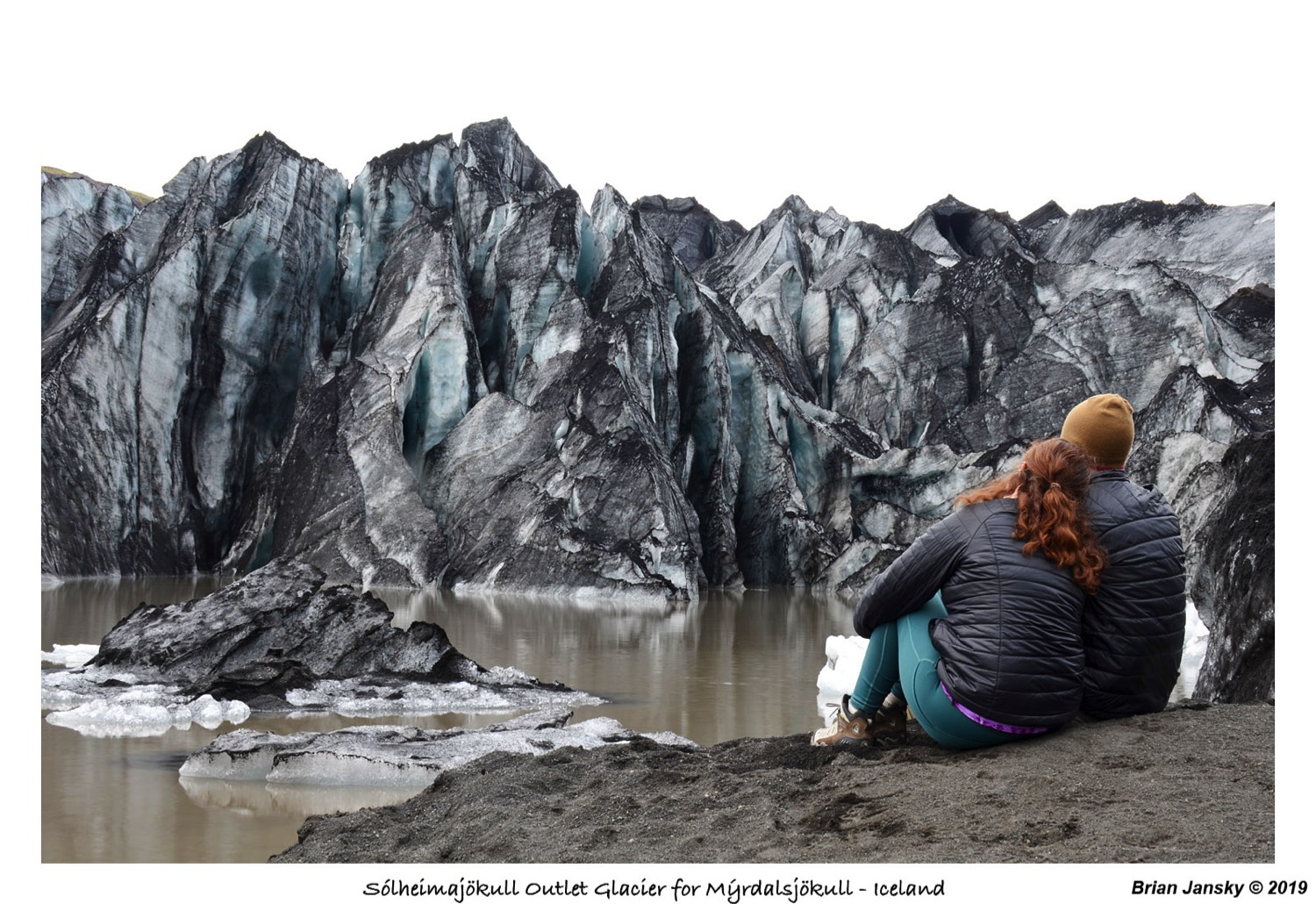
Next we (first time B drove) drove onward east to Vik to grab dinner. We ate that this little hole in the wall place. I had a lamb sandwich and Brian had a burger. Both really good! We then ventured back west to our tent. We sat in there for about 30 minutes or so, relaxing when I found a short hike to a glacier not too far away so off we went. This was at 7PM or so. This ended up being the hike to the Sólheimajökull outlet Glacier of the larger Mýrdalsjökull glacier. It was about a 20 minute drive back west and then a 15 minute hike or so from there to the foot of Sólheimajökull. Completely worth it! We were able to walk right up to the glacier itself. Pictures couldn’t do the place justice! And for once, we had the place pretty much to ourselves (“sunset” was 11:15 pm so we had time!). We hung out there for a while, taking pictures and enjoying the view.


We got back to our tent at 9:30 or so and lounged in the tent the rest of the evening. The set up consists of maybe 12 or so tents, on platforms above the ground. They all had power ran to them and a heated mattress to sleep on. We also had access to barn of sorts which had a full kitchen and wifi along with bathrooms and showers. A family next to us with kids kept talking for a while, but everyone quieted down a bit around 10:30 or so even though it was easily still light. Our ‘door’ faced the ocean (though off in the distance) so we left the flap open to enjoy the view for a while. Not wanting to sleep yet, Brian ventured back to the barn to explore and talked to a guy with a Texas A&M shirt. They were class of 2006 and had actually been on our flight over out of DFW, row 27 to our row 30. They had snorkeled the rift already (the day they landed) and did basically what we did today. They are driving the entire ring road in their 8 days here. Since there was rain forecasted, Brian closed our tent before falling asleep at 11:45.
Safe Travels,
B&E
Safe Travels,
B&E